Explore Mars from home

Discover why NASA is researching the terrain on a Canadian island.

Mars AstronautOn average, Mars is about 140 million miles (approximately 225 km) away from the Earth. The average person most likely won’t get to explore the surface of the red planet in their lifetime, but new technology has made it possible to bring the red planet to your screen.

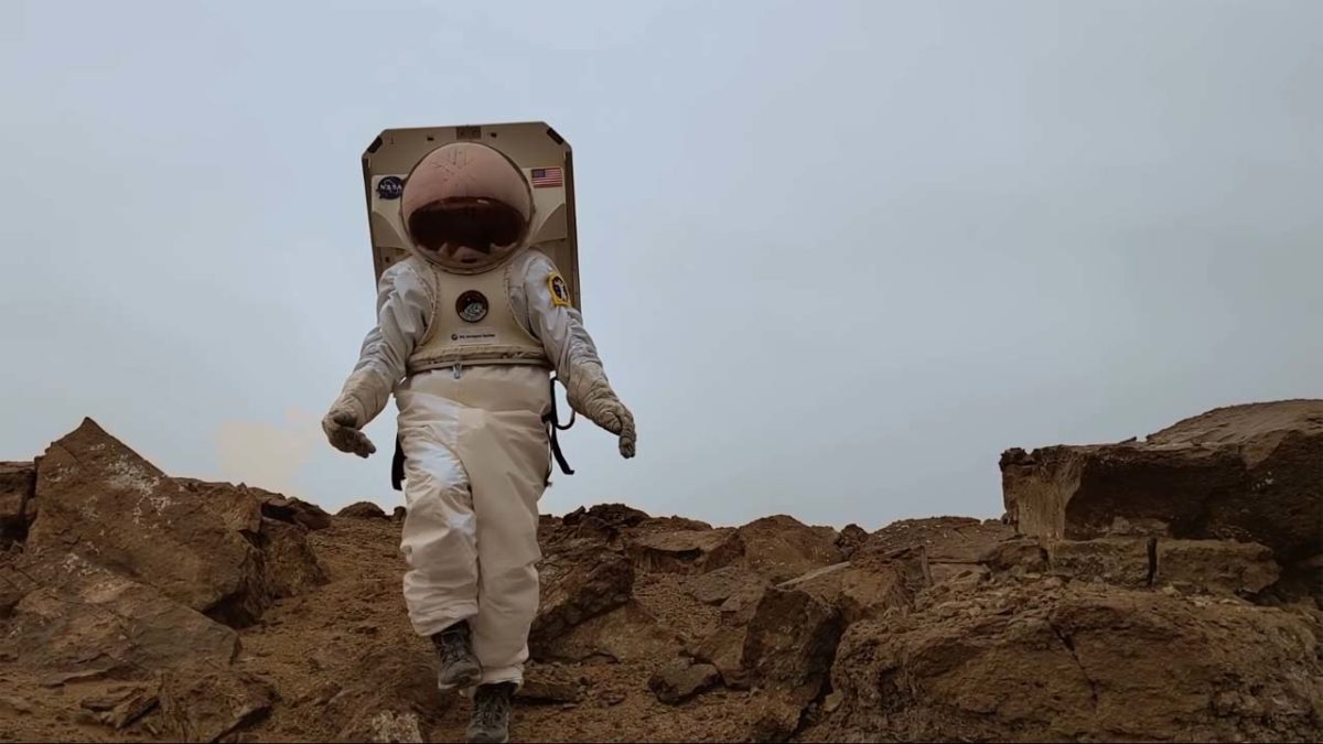
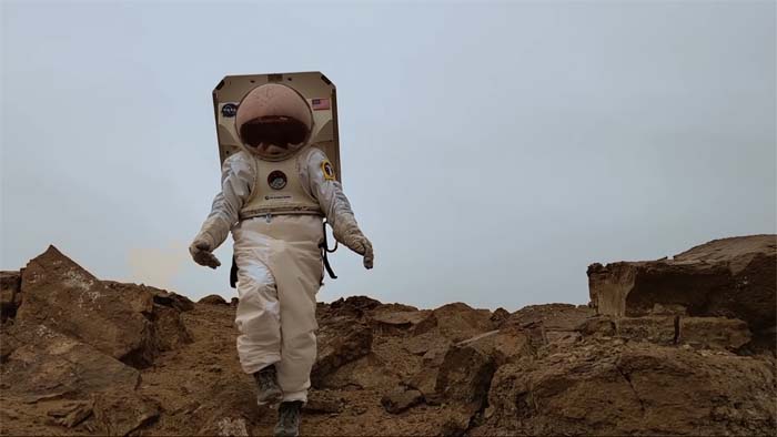
A team of NASA scientists has been conducting research on Devon Island off the coast of Canada. The island’s terrain is similar to what astronauts would encounter on Mars, and this research will help NASA understand what awaits them in the harsh, unyielding climate of our planetary neighbor. Google released this video about the scientists and their research.

Through Google Street View, you can now explore Devon Island, too.

More resources for Mars-lovers

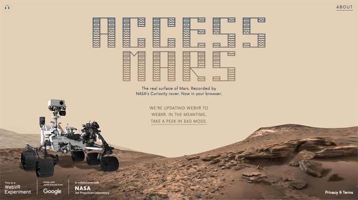
In 2012, the Curiosity Rover landed on Mars and began shooting photos of the planet’s surface. Since then, the rover has taken about 200,000 photos, all of which have been sent back to NASA’s Jet Propulsion Labs who have been working to convert the images into a 3D model. In 2017, NASA partnered with Google Creative Lab to create Access Mars, where you can explore a 3D model of the planet from your browser.

Access Mars

And if that doesn’t scratch your interplanetary itch, Lockheed Martin created a virtual reality app called Mars Walk. After placing your phone in a VR headset, you can get a full view of Mars while a narrator tells you about expeditions to Mars, and what they learned from their research. You can also visit the Curiosity rover and visit your virtual space module.

NASA’s new InSight lander explores Mars

Take a closer look at Mars’ newest resident.

On Monday, NASA reported that its InSight lander safely survived entry to Mars’ surface, already taking two pictures. The pictures show the surface of Mars before and after InSight removes the dirty dust shield from its camera.

The InSight lander is different from a rover, as NASA already has a few different rovers combing Mars. InSight is stationary, self-sufficient, and packed to the brim with seismological tools. It uses solar panels to power itself. Because Mars receives far less sunlight than Earth, InSight was designed to consume very little power. On what is considered a sunny day on Mars, InSight’s solar panels receive only about 600-700 watts, enough to power a small device like a toaster.

Over the next few months, InSight will use its robotic arm to install a variety of seismological instruments. These instruments will allow NASA geologists to create detailed 3D models of the surface of Mars, in addition to properties like heat flow, seismic activity, and the tug of the planet’s moons. The primary instrument used to gather this data is called the Mars Mole HP3, and InSight is powerful enough to embed the device deep into the planet’s surface. NASA scientists are also hoping to use the Mars Mole HP3 to study Mars’ geological interior, comparing its core and crust to Earth’s in addition to newly discovered planets.

InSight didn’t make its dangerous journey alone. It was accompanied by two small cube satellites called MarCOs. Named Wall-E and Eve by the Disney fans among the staff, MarCO satellites played support roles on this mission, monitoring and reporting essential data regarding InSight such as fuel use. After InSight landed, both MarCO satellites left the red giant and flew back into space. Before leaving completely, Wall-E managed to snap this photo:

The MarCO satellites were mostly the product of new hires at NASA, with most of the team consisting of recent college graduates. With their successful assistance in the InSight mission, it’s likely these small satellites will see plenty of future use.