Let’s be clear: without Google Maps, we are nothing today. Since its launch nearly two decades ago, Google‘s app has been the best travel companion we could have, telling us the fastest route to any destination and providing us with all kinds of information, such as the nearest ATMs or even available parking spots.

But if you thought that the possibilities of Google Maps couldn’t go any further, you were mistaken. Recently, Google confirmed the global launch of a feature that allows you to see road radars. Although some of us were already lucky enough to have the feature as part of a limited test, the function to view speed radars is now available to all users in over 40 countries, including Spain.
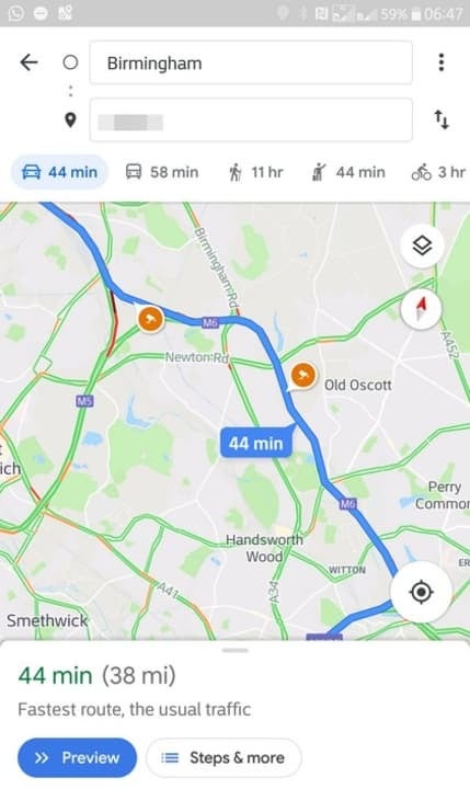
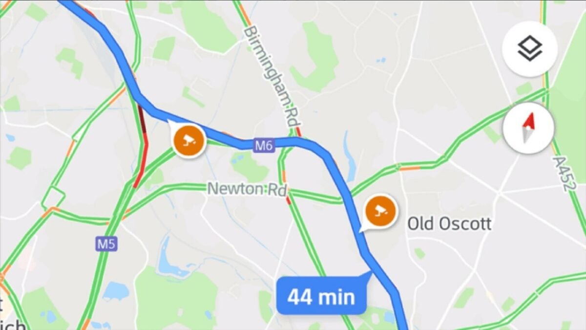
Using this feature is very simple. To begin with, you won’t have to activate anything as it comes by default in the latest version of Google Maps. With the updated app, you just have to plan a car route from one point to another and check if any radar icons appear. While the orange icons represent fixed radars, the blue ones correspond to mobile speed checks. Additionally, when you’re using Google Maps and approaching a radar, the app will notify you with a notification sound.
By clicking on the icon of a radar before starting the route, you will see when it was first reported, as well as the latest update. The best part is that, as you may have guessed, using Google Maps to find the location of radars is perfectly legal since it relies on information provided by the traffic authorities. However, it is worth remembering that if you always drive at the speed limit, you won’t have to worry about any radars at all.
Some of the links added in the article are part of affiliate campaigns and may represent benefits for Softonic.
