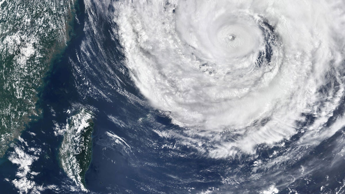
The World Meteorological Organization updated its El Niño outlook today, and the message was blunt: nearly a 100% chance the current El Niño event will last through February 2027. The WMO says it hasn’t issued an El Niño/La Niña update this unequivocal before, and model guidance from both the WMO and the US National Oceanic and Atmospheric Administration points to a very strong event, one that could rank among the strongest seen since the 19th century. On a planet already heated by human activity, El Niño’s usual 0.1 to 0.2°C bump, in the WMO’s estimate, could be enough to push global temperatures toward record highs and even briefly tip past 1.5°C.

The WMO also warns that the fallout may be messy and uneven: heavier rain in some places, deeper drought in others, and extremes that are harder to pin down ahead of time. That brings a string of related risks with it, including crop stress and crop losses, power cuts, water shortages, wildfires, disease outbreaks, and broader humanitarian emergencies.
Researchers cited by experts say El Niño events are now almost 40% stronger than they were in the pre-industrial era. Add in a positive Indian Ocean Dipole and unusually warm waters in the equatorial Atlantic, and the picture gets sharper. Experts say those factors could worsen drought, intensify rainfall swings, and raise fire danger, especially across Southeast Asia.
If you track climate, food security, or public health, this is the forecast to pay attention to. UN agencies warn that 50 million additional people could face acute hunger. UNICEF says 162 million children in Eastern and Southern Africa are exposed. Experts also say the weak spots in preparedness haven’t gone away, particularly around funding, water management, protections for smallholder farmers and Indigenous communities, and national planning.
You can read the latest WMO update alongside supporting evidence from NOAA, the World Health Organization, UNICEF, and national weather agencies.
